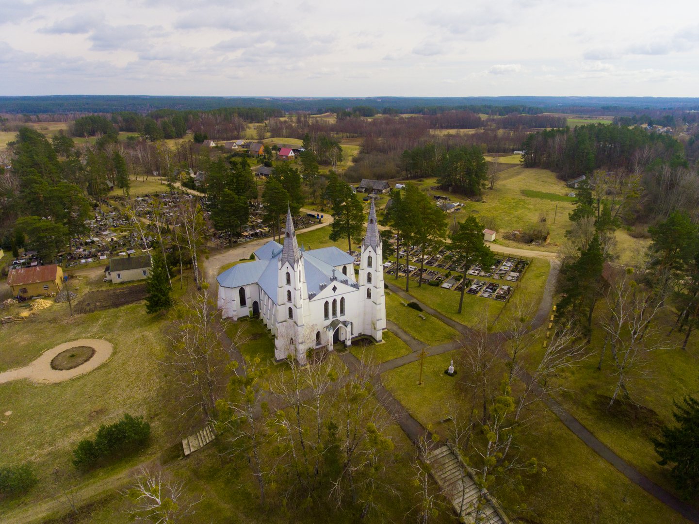
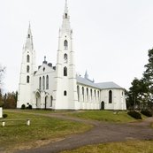
This church was built in 1935 in the inter-war period, and it has a unique architectural style. It was designed and built by the priest Jonas Reitelaitis, and the unique features of the building were created by combining folk architecture with professional architecture. The author originally included some Neo-Gothic shapes, but he also used some folk elements that were popular at that time.
Read more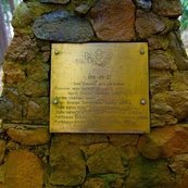
In Bestraigiškė Forest, an authentic partisan bunker has been reconstructed – it is a relic built to commemorate the history of our country’s struggle for freedom. In 1951, six partisans from the Mindaugas and Juozapavičius areas of the Šarūnas territorial resistance unit were killed in Bestraigiškė Forest.
Read more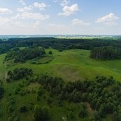
This mound, which was formed in the 1st millennium, rises over the village of Paserninkai. In the southern and eastern foothills of the mound, in an area of 0.5 ha, there was a settlement where slag was found during archaeological investigations.
Read more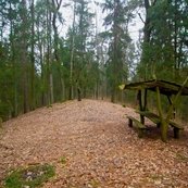
Kivakalnis, also called The Hill of Witches, is one of the highest hills of the Žagariai moraine that was formed by the last glacier around 13,000-15,000 years ago. The steepest slope of the Kivakalnis is 14 metres high. It is said that witches used to gather on the hill, even coming from as far away as Kiev, so the hill was named Kievakalnis (Kivakalnis, i.e. the Kievan Hill).
Read more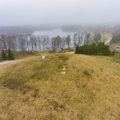
Buteliūnai Mound is located on a separate hill, on the south-eastern shore of Prapuntas Lake. The mound is thought to have been formed around the beginning of the 1st millennium.
Read more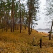
Šlavantai mound is located on a picturesque site, on the western shore of Šlavantas Lake in former Yotvingian lands. In the 1st-2nd millennium, an ancient settlement was located on the southwestern foot of the mound, where shards of ancient clay pots have been discovered.
Read more

Reviews